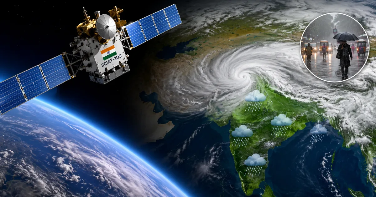
If you live in Mumbai or Bengaluru, you know the drill. You look out the window, see a slightly grey sky, and wonder if you should carry an umbrella or risk it. Most of us just check an app on our phones. But behind that simple rain icon is a massive operation happening 35,000 kilometres above our heads. And this year, the ISRO INSAT-3DS Satellite 2026 updates are changing how we predict the weather.
I've always found it fascinating how a chunk of metal floating in space tells us when to pack a raincoat. We take it for granted. But the technology up there directly changes our daily lives down here in India. No complex jargon today. Just a look at what ISRO is doing up there and how it affects our routines.
The eye in the sky: what is INSAT-3DS?
Basically, INSAT-3DS is a highly upgraded digital camera. But instead of just taking visible photos, it sees temperatures and moisture levels. ISRO designed this specific satellite to monitor the weather and help with disaster warnings. I think the scale of it is hard to grasp.
It's part of a larger family of satellites (a pretty big family, actually). The imagery we are seeing recently is on another level entirely. On July 22, the India Meteorological Department or IMD released images from this satellite showing something incredible. Almost 95 percent of India was completely blanketed by monsoon clouds. I saw those pictures on the news. It looked like a giant white blanket covering the entire subcontinent.
This matters.
The Southwest monsoon is everything to us. It provides roughly 75 percent of India's annual rainfall. That rain fills our reservoirs and waters our crops. It also keeps the power running in states that rely on hydroelectricity.
How new cloud imagery improves forecasting
So how does a better picture actually help predict the rain? It comes down to tracking the systems.
Honestly, the recent images from the ISRO INSAT-3DS satellite 2026 showed more than a mess of clouds. They helped meteorologists identify distinct weather systems driving the heavy rainfall. Two massive systems were sitting right over the Arabian Sea and the Bay of Bengal. When the IMD can see these systems forming in real time with high clarity, they don't have to guess. They measure exactly how fast the clouds move and how much moisture they carry.
Thing is, regular cameras need sunlight. Weather doesn't stop at night. The advanced infrared sensors on the satellite come in handy here. They measure the heat coming off the clouds. Colder cloud tops mean the clouds are taller and thicker. And taller clouds usually mean thunderstorms and heavy rain.
So even at 2 AM, scientists at the IMD can watch a storm off the coast of Kerala. They issue a red alert before people wake up. This is a massive upgrade from the old days.
The five weather systems driving the rain
When the IMD looked at the data from the ISRO INSAT-3DS satellite 2026, they spotted five distinct systems working together. It isn't just a single rain cloud. It's a complex machine. Here's what they found driving the surge:
- A strong low-pressure area over the Arabian Sea pushing moisture inland towards Maharashtra and Gujarat.
- Another powerful system brewing in the Bay of Bengal, sending rain towards the eastern states.
- An offshore trough stretching along the western coast, causing continuous showers in Kerala and Karnataka.
- A cyclonic circulation over central India acting as a magnet for rain clouds.
- The monsoon trough itself shifting southwards to its active position.
Seeing all these interacting at once is only possible because we have an eye in the sky capturing the entire subcontinent in a single frame. In my experience, trying to track this from the ground is impossible.
Why this matters for the average Indian
You might think this is only useful for farmers or scientists.
But better forecasting affects all of us.
Look, take the recent alerts for Delhi and other major cities. When the monsoon regained its strength after a short break, the IMD used this satellite data to issue targeted warnings. They knew exactly which neighborhoods would get hit hardest. I'm not sure exactly why it hits some areas harder, but the data is clear.
This means city municipal corporations get a few extra hours to clear drains. You might get a message from your kids' school declaring a holiday before they are stuck in traffic. And for a delivery driver navigating flooded streets on a bike, knowing exactly when the rain stops is a safety issue. If you are curious about how other tech impacts our daily routines, you can check out some of our other explainers.
The technology behind the lens
The INSAT-3DS carries an imager and a sounder.
The imager takes pictures in six different wavelengths. Some see visible light and some see infrared. Others look specifically for water vapour. The water vapour channel is especially useful. It lets forecasters see moisture in the air even when there are no visible clouds yet. It's like seeing the invisible fuel that creates storms.
The sounder does something different. It takes vertical profiles of the atmosphere. Imagine slicing a cake to see the layers inside (a weird comparison, I know, but it works). The sounder measures the temperature and humidity at different heights from the ground up to the edge of space.
Data processing on the ground
Getting the image is only half the job. Once the satellite takes a picture, it beams massive amounts of raw data back to earth stations in India. Supercomputers then process this data to create the visual maps we see on television.
And this happens fast. The satellite takes a full image of the earth every half an hour. For specific regions like India, it takes pictures even more frequently. This real-time feed allows the IMD to issue accurate short-term forecasts. It's wild.
Tracking cyclones and extreme weather
We can't talk about the ISRO INSAT-3DS satellite 2026 without talking about cyclones. India has a long coastline. We get battered by cyclones from both the Arabian Sea and the Bay of Bengal.
In the past, cyclones would sometimes catch us by surprise. Now, the satellite tracks them from the moment a low-pressure area forms in the deep ocean. We know the exact wind speeds and the eye of the storm. We know exactly where it hits land.
"The ability to track these massive monsoon systems with such clarity gives us a massive head start in disaster management and agricultural planning."
This head start saves lives. It gives the NDRF time to evacuate coastal villages. It gives fishermen time to return to port. You can read more about how technology is helping in emergencies in our news section.
What happens when the monsoon takes a break
The monsoon has active phases and break phases.
During a break, the rain stops. Temperatures rise and it gets incredibly humid.
The recent satellite images showed exactly how a break ends. After a lull, the satellite captured a dramatic surge of clouds moving in. This helps the agriculture sector plan. If a farmer knows a break is ending in two days, they prepare their fields accordingly. They don't have to rely on guesswork or old almanacs. If you ask me, this is the most useful part.
How satellite data reaches your smartphone
You might wonder how a picture taken in space ends up affecting the apps on your phone. It's a long chain of information.
The IMD processes the satellite imagery and then shares the resulting forecasts through their public APIs. Private weather companies and app developers pull this data. So when you open your default weather app, there's a very good chance the raw data started with an ISRO satellite.
This data also feeds into new agricultural apps. Startups are building tools that send SMS alerts to farmers in local languages. If the INSAT-3DS spots a heavy storm moving towards a specific district in Maharashtra, the app can warn farmers there to protect their harvested crops. Some crop insurance programs linked to Aadhaar and bank accounts even use satellite data to verify weather events for claims. It is a completely connected system (which makes sense, actually).
The impact on agriculture and the economy
We all feel the pinch when tomato or onion prices skyrocket.
Those price jumps are almost always tied to the weather. A bad monsoon means poor harvests. That leads to inflation.
The Kharif crop season depends entirely on summer rain. This includes rice and maize. When the IMD uses the ISRO INSAT-3DS satellite 2026 data to predict exactly when and where the rain will fall, the government can plan better. If they know a specific region will face a dry spell, they can arrange for alternative water supplies. They can advise farmers to plant different crops.
Also, good forecasting helps the logistics industry. Moving goods across the country by road is risky during heavy rains. Trucking companies use weather data to reroute shipments and avoid flooded highways. This keeps supply chains moving smoothly. The numbers here are a bit fuzzy, but the savings are huge.
How this impacts the power sector
There's another angle to this that people rarely talk about. Our electricity grids rely heavily on weather forecasts.
Think about it. When it rains heavily and the temperature drops, millions of air conditioners are turned off. The demand for power drops instantly.
If power grids don't anticipate this drop in demand, it can cause grid instability. By looking at the cloud cover tracked by the ISRO INSAT-3DS satellite 2026, grid operators know exactly when a storm will hit a major city like Mumbai or Delhi. They adjust power generation accordingly.
Hydroelectric power plants need accurate rainfall data. The managers of these dams need to know how much water is flowing into their reservoirs. If the satellite shows massive cloud systems moving into the catchment areas, they safely release water before the floods happen. It's a delicate balancing act that depends entirely on having good data.
Comparing INSAT-3DS to older models
India has been launching weather satellites for decades. So what makes this one special? It comes down to resolution and speed.
Older satellites like Kalpana-1 did a great job. But their pictures were lower resolution. It was like watching a video in 480p. The INSAT-3DS gives us high definition. Forecasters can see smaller cloud formations that older satellites missed completely.
The speed of data transmission has also improved. A weather system can change direction in a matter of hours. Having fresh imagery every 15 to 30 minutes means the IMD is never working with stale information.
The future of Indian weather prediction
ISRO isn't stopping here. They have plans for even more advanced satellites. But right now, the INSAT-3DS is doing heavy lifting.
We're getting better at predicting the unpredictable. Weather will always have an element of chaos. But with tools like this, we are slowly turning that chaos into data we can use.
So next time you open your weather app and it tells you it will rain at 4 PM, remember the satellite sitting 35,000 kilometres away. It's taking pictures and measuring heat. It sends that data down just so you know whether to take an umbrella to the office.
If you found this breakdown helpful, you might also want to look at our guides on setting up emergency alerts on your phone.
A quick note on data sharing
One of the best things about this program is that the data isn't kept secret. The IMD shares these satellite images publicly. You can go to their website and see the cloud cover for yourself. It's a great way to understand what is happening with the weather in your specific city.
The government is also integrating this data into the Bhuvan portal and other agricultural platforms. This puts the power of space technology directly into the hands of a farmer in a remote village with a smartphone.
Understanding the limits of forecasting
Forecasting still isn't perfect. The satellite gives us a very good picture. But interpreting that picture requires human skill and complex computer models.
Sometimes the models get it wrong. A storm might change direction at the last minute. Or a cloud system might hold less rain than it looked like. But the margin of error is getting smaller every year. The ISRO INSAT-3DS satellite 2026 data gives our meteorologists the best possible raw material to work with.
And honestly, that's a massive win for a country where the economy still heavily depends on a good monsoon season.