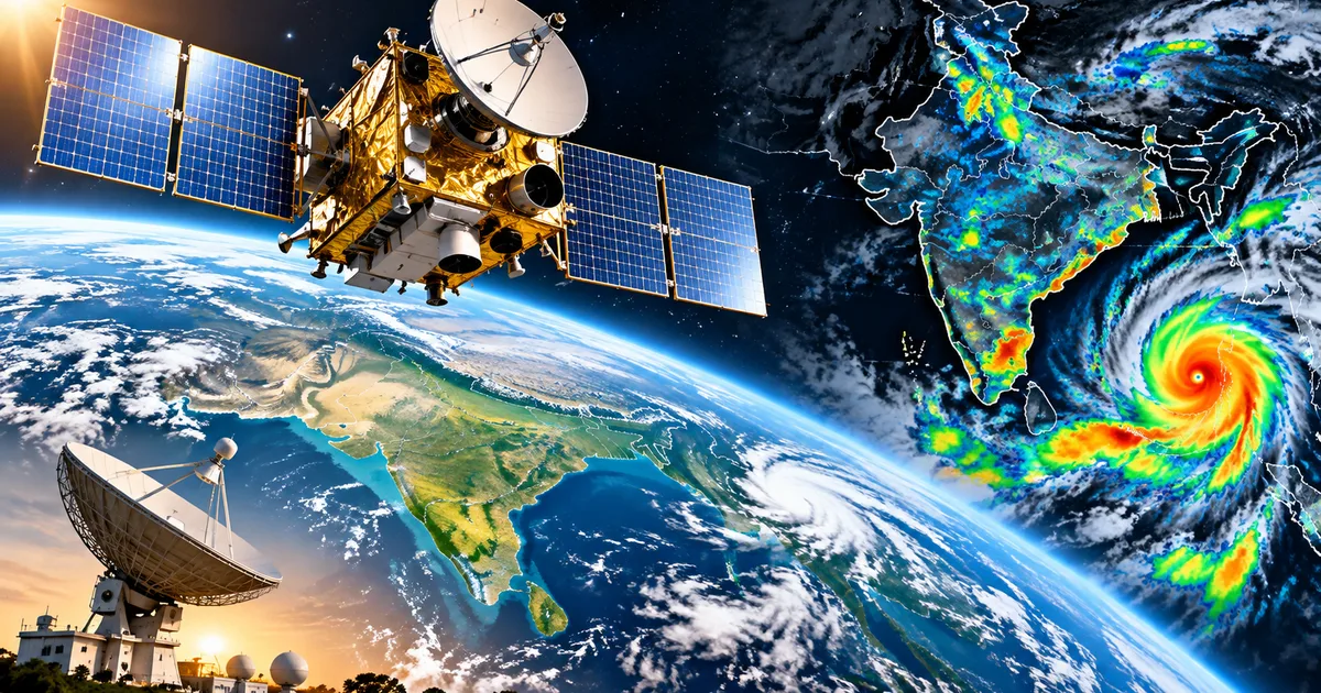
You probably check your weather app before leaving for work or planning a weekend trip. Sometimes it says it's going to rain, and the sun shines all day. Other times, you get caught in a massive downpour with zero warning. That's about to change. The ISRO INSAT-3DS 2026 upgrade is basically India's new eye in the sky. I've been looking at what this new satellite actually does. And honestly, it's a huge leap forward for how we track weather in this country.
We're dealing with climate changes that make our monsoons totally unpredictable. You've seen the news. One half of India gets flooded. The other half faces severe dry spells. Just last week, an image from ISRO showed exactly this weird split (which makes sense, actually). Thick clouds covered eastern and southern India, while the northwest was completely clear. That level of detail comes from these advanced weather satellites.
So what exactly is INSAT-3DS? And why should you care? We can break this down simply. Because behind the acronyms and the rocket science, this is about knowing whether your flight out of Mumbai will get cancelled. Or if the farmers in Punjab will get enough rain for their crops.
Why we're upgrading from INSAT-3DR to INSAT-3DS
Think of INSAT-3DR as the older smartphone you bought in 2016. It still works. It makes calls. It sends messages. But the camera is a bit fuzzy in low light, and the processor lags when you open too many apps. INSAT-3DR launched back on 8 September 2016 on the GSLV-F05 rocket. It gave the India Meteorological Department, or IMD, a lot of good data over the years. It has a 6-channel imager and a 19-channel atmospheric sounder. It did its job well for a long time. In my experience, older tech always struggles to keep up eventually.
But technology moves fast. And frankly, the weather patterns in India are getting more aggressive. We need sharper images and faster updates. That's where the ISRO INSAT-3DS 2026 upgrade comes in. It works alongside the older satellites. But it brings upgraded sensors that can see through the atmospheric mess with much better clarity. It's like upgrading to a phone with a pro camera setup and a brand new processor.
The transition means expanding our coverage. By having multiple satellites in Geostationary Orbit (GSO), ISRO ensures we've got overlapping data. If one sensor is facing an issue, another satellite is there to pick up the slack.
This redundancy is what keeps our disaster warning systems online 24/7.
If you want a deeper look at how these satellites specifically help predict rain, check out our guide on ISRO INSAT-3DS Satellite 2026: Monsoon Forecasting Explained. It's actually fascinating how they track the moisture moving in from the Bay of Bengal. And how that translates to the rain alerts on your phone.
Key features of the INSAT-3DS satellite
Satellites are complicated machines. The engineering required to build something that survives the violence of a rocket launch and the freezing radiation of space is a bit wild. But the tools they carry are actually pretty easy to understand once you cut through the scientific jargon. INSAT-3DS has some seriously impressive hardware.
The 6-channel multi-spectral imager
This is the main camera. It goes way beyond taking regular photos like a standard digital camera. It actually captures images in six different channels across the electromagnetic spectrum. Why six? Well, I'm not sure exactly why they picked that specific number, but visible light only tells you so much. Plus, visible light requires the sun to be shining. If you want to see clouds at night, you need thermal infrared.
The imager looks at specific wavelengths, like the 10.83 micrometres band. That specific number is important. It lets meteorologists measure the exact temperature of the cloud tops from 36,000 kilometres away (annoying to calculate, I know).
Brighter spots on these infrared images mean the cloud tops are colder and higher up in the atmosphere. Tall, cold clouds usually mean heavy rain and thunderstorms are brewing.
So when the IMD issues a sudden alert for intense showers or a red alert for Mumbai, they're often looking at these exact thermal readings. They see the clouds growing vertically. They see them getting colder at the top. And they know a deluge is coming.
The 19-channel atmospheric sounder
This sounds like an audio tool, but it's not. The 19-channel sounder measures vertical profiles of the atmosphere. Imagine slicing a multi-layered cake to see the different fillings inside. The sounder looks at temperature and humidity at different altitudes. It basically takes a 3D scan of the air above India.
This tells forecasters how unstable the air is. Unstable air leads to cyclones and severe storms. By mapping these vertical profiles, the IMD can predict a storm hours before the first cloud even forms.
It's a massive advantage for early warnings.
Data relay and search-and-rescue
INSAT-3DS does more than take pictures. It also listens. It has a Data Relay Transponder (DRT). This system picks up information from automatic weather stations (AWS) located all over India. From the freezing heights of the Himalayas to the coastal plains of Kerala. It gathers ground-level data like wind speed and rainfall, and beams it back to the processing centres in real time.
There's also a dedicated search and rescue transponder. If a fishing boat gets into trouble in the deep waters of the Indian Ocean, or a trekking group gets stranded in a remote valley, they can activate an emergency beacon. The satellite picks up that distress signal. It instantly alerts maritime and aviation rescue teams. That alone saves lives every single year. It's one of those quiet technologies you never think about until you absolutely need it.
Tracking the crazy Indian monsoon
Our southwest monsoon is the lifeline of the Indian economy. It dictates agricultural output and fills our reservoirs. But it's also incredibly destructive when it misbehaves. The recent data from ISRO satellites showed a deep depression moving over north coastal Andhra Pradesh and south Odisha. The thermal images mapped the massive bands of moisture spreading inland from the Bay of Bengal.
You can see the cloud bands stretching right across central India. The contrast is wild. While Odisha gets hammered with relentless rain, places in Rajasthan and Gujarat are sitting under entirely clear skies. The IMD relies on INSAT-3DS to see these massive systems in real time.
Without this satellite view from Geostationary Orbit, ground stations would just be guessing. India is huge. We can't realistically put a Doppler weather radar in every single village. The satellite gives us the big picture. It shows where the deep convection is happening. It shows where the most intense rainfall will hit next. And for a country that depends so heavily on agriculture, that information is literally money. If you ask me, we should have done this sooner.
Thing is, if you like reading about how things actually work behind the scenes, you might want to browse our Tech Explainers hub. We break down everything from space tech to mobile networks in plain language.
What this means for your daily life
Look, you might be thinking this is all very scientific and completely removed from your daily routine. But it directly impacts you. When you check your phone to see if you need an umbrella, that forecast is getting more accurate precisely because of INSAT-3DS. When the government sends out an SMS warning farmers in Maharashtra about unseasonal hail, that alert is powered by this satellite data.
Think about cyclones. A decade ago, cyclones hitting the east coast caused massive loss of life and property. We just didn't have enough warning. Today, we track them days in advance. We know exactly where they'll make landfall, down to a few kilometres. We can evacuate millions of people safely. That's the real power of having our own dedicated weather satellites parked 36,000 kilometres above the equator.
They're watching 24/7.
This upgrade applies to normal daily activities too. Better forecasts mean better flight schedules. Less chance of you sitting at Delhi airport for six hours because of unexpected fog. It means better power grid management. When power companies know a severe heatwave is coming, they can prepare for the massive spike in air conditioning usage to prevent blackouts. Every single sector of the economy benefits from this data (which makes sense, actually, given how much we rely on the grid).
I know people constantly complain about the weather app on their phone being wrong. But predicting the weather is absurdly difficult. The atmosphere is chaotic. Small changes in wind speed or ocean temperature completely alter a storm's path over a few hours. Adding better sensors in space is the only way we can beat that chaos and get reliable answers.
The launch and future of ISRO weather tracking
Building these satellites takes years of rigorous work by thousands of engineers and scientists. INSAT-3DS was sent to the Satish Dhawan Space Centre (SDSC-SHAR) in Sriharikota for its launch preparations. Getting a satellite ready for space is a huge job. It goes through intense testing to make sure it can survive the extreme vibrations of the launch. And the harsh thermal environment of space.
The satellite is loaded onto a Geosynchronous Satellite Launch Vehicle (GSLV), which is an absolute beast of a machine. The GSLV-F14 mission was specifically tasked with placing INSAT-3DS into its correct orbit. ISRO has gotten very good at this. But space is never routine.
Every launch is a high-stakes event.
We're also looking forward to other upcoming launches in the ISRO pipeline. For example, the EOS-05 Earth Observation Satellite is gearing up for its GSLV-F17 mission. India is rapidly expanding its space capabilities. We aren't just relying on foreign data or older satellites anymore. We're building the infrastructure ourselves, tailored exactly for the Indian subcontinent's unique weather challenges.
And honestly, we have to. The climate isn't getting any more predictable. The monsoons are getting more erratic, and the heatwaves are getting longer. We need the absolute best possible data to adapt to these changes. The numbers here are a bit fuzzy, but the trend is clear.
So the next time you see a satellite image of thick white clouds swirling over India on the evening news, you know exactly where it came from. It's not just a pretty picture. It's a highly complex thermal reading from INSAT-3DS. It's working quietly in the cold vacuum of space to keep us safe down here.
Quick summary of the tech
If you skipped to the end, read this quick summary of the upgrade.
- INSAT-3DS is an advanced weather satellite launched by ISRO to track weather patterns, cyclones, and the monsoon over India.
- It uses a 6-channel multi-spectral imager to take detailed pictures, including thermal infrared shots that work at night and measure cloud temperatures.
- The 19-channel atmospheric sounder measures temperature and humidity at different heights, helping forecasters predict severe storms before they form.
- It collects important data from automatic ground stations across the country and even picks up emergency distress signals for search and rescue operations.
- This upgrade directly improves the accuracy of the weather forecasts you get on your phone and helps the IMD issue life-saving disaster warnings earlier than ever before.
We'll keep a close eye on how the IMD uses this new influx of data through the upcoming monsoon seasons. The technology is genuinely impressive. But the real test is always how well it predicts the next big storm. We'll just have to see.
If you found this breakdown useful, you might also be interested in how technology is changing other parts of our daily lives. You can find more deep dives and quick updates in our Latest Tech News section.